The 1988 Yellowstone Fires
14 min read · Updated June 2026
The Summer of Fire
In June of 1988, Yellowstone looked like every other June — green meadows, full rivers, snow on the high peaks. By September the park was a battlefield. Smoke had blackened the sky from Idaho Falls to Billings. Old Faithful Inn was wrapped in foil and protected by sprinklers. A 9,000-person firefighting army was losing ground every day.
The summer of 1988 became the largest wildfire event in National Park Service history and the single most influential fire event in modern American land management. It also forced a generation of ecologists, policymakers, and visitors to confront a hard truth: Yellowstone is a fire ecosystem. The forests we love were built by fires like this one.
The "Let-Burn" Policy
For nearly seven decades — from the founding of the National Park Service in 1916 through the mid-1970s — federal policy was simple: every fire, every time, was suppressed. By the 1970s, ecologists argued this was a mistake. A century of suppression in the lodgepole forests of the West had produced overstocked, fuel-laden stands where the natural cycle of small, low-intensity fire had been broken.
Yellowstone adopted a "natural burn" policy in 1972: lightning-caused fires in the backcountry could be allowed to run their course unless they threatened life or property. From 1972 through 1987 the policy worked: of 235 lightning fires allowed to burn, only 15 grew larger than 100 acres. Then came 1988.
The Fires Explode
The winter of 1987–88 was unremarkable. Spring rains were normal. Then the moisture stopped. By July, Yellowstone was the driest it had been since record-keeping began in 1872. Fuel moisture in dead wood fell below kiln-dried lumber.
On June 23, lightning ignited the Shoshone Fire. Through July more starts followed — Red, Mink, Clover, Storm Creek, Hellroaring, the human-caused North Fork Fire that escaped from outside the park on July 22. By late July, park managers reversed course and ordered all fires suppressed. It was already too late.
On August 20 — a day firefighters still call Black Saturday — winds gusting over 80 mph drove the fires across an additional 150,000 acres in a single afternoon. Crown fires leapt rivers and jumped the Continental Divide. Convection columns punched 30,000 feet into the stratosphere.
Fighting the Fires
At peak, more than 9,000 firefighters — including roughly 4,000 active-duty U.S. Army and Marine Corps personnel — were on the Greater Yellowstone fires, supported by 117 aircraft and hundreds of bulldozers. It was the largest wildland firefighting mobilization in U.S. history to that point.
Their focus shifted from stopping the fires to protecting structures. Old Faithful Inn was the most famous save: on September 7, crews kept the 1904 log structure standing with hose lays, sprinkler systems, and a foil wrap on the most exposed walls. Sixteen smaller park structures were lost. Two firefighters died. The fires only stopped when a wet snowstorm arrived on September 11.
The Numbers
- ~793,000 acres burned inside Yellowstone (about 36% of the park)
- ~1.2 million acres burned across the Greater Yellowstone Ecosystem
- 9,000+ firefighters at peak deployment
- ~$120 million in suppression costs (about $310M in 2026 dollars)
- ~345 elk, 36 deer, 12 moose, 9 bison, 6 black bears died directly
- 16 park structures lost; Old Faithful Inn saved
- 2 firefighter fatalities in the Greater Yellowstone complex
The acreage figure is often misread. The 793,000 acres represent the perimeter of the fires, not uniformly scorched ground. Within those perimeters, roughly half the area burned at high intensity, the rest was a mosaic of mixed-severity burn, light ground fire, and unburned patches that the flames simply skipped.
What Fire Actually Does to a Lodgepole Forest
Yellowstone is dominated by lodgepole pine — roughly 80% of the park's forest. A substantial portion of lodgepole cones are serotinous: sealed with a resin that only melts at roughly 113–122°F. The cones can hang on a tree, viable, for 20 years or more. They are waiting for fire.
When a crown fire passes through, the heat opens the cones and rains seeds onto freshly ash-fertilized, sun-exposed soil. The standing dead trunks shelter seedlings from wind and frost. Fire-history research using tree cores and lake-bed charcoal shows Yellowstone has experienced large stand-replacing fires roughly every 150 to 300 years for the last 10,000 years. The 1988 fires were extreme — but not unprecedented, and not unnatural.
The Recovery — 38 Years Later
By the first summer after the fires, fireweed, aspen suckers, lupine, and grasses had blanketed the burns. Within five years, lodgepole seedlings were knee-high. Today, almost four decades on, the 1988 burns are recognizable as 30–50 foot stands of densely packed, slim-trunked lodgepole — visually distinct from the older, taller, more open forests around them.
Wildlife response has been overwhelmingly positive. The flush of new grasses and forbs improved elk forage. Aspen — which had been declining for decades — regenerated in many burned drainages. For more on how Yellowstone's wildlife rebounded, including the trophic cascade triggered seven years later by wolf reintroduction, see our wildlife conservation article.
What the 1988 Fires Changed
- Federal fire policy was overhauled. The 1995 Federal Wildland Fire Management Policy formalized the difference between "wildland fire use" and suppression.
- Public communication changed. Yellowstone's outreach during 1988 became the template for how agencies talk about fire ecology.
- Fire science exploded as a discipline. Yellowstone became the most studied post-fire landscape on Earth.
- Visitor expectations were reset. A generation learned to read a burned landscape as a healthy one.
Seeing the 1988 Burns Today
From the Island Park / West Yellowstone corridor, the easiest places to see the 1988 burns:
- Madison to Old Faithful — the North Fork Fire footprint along the Firehole River.
- Mount Washburn — drive Dunraven Pass or hike the summit trail.
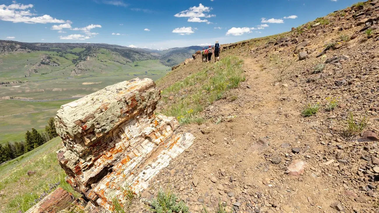
- Norris to Canyon — long stretches of dense lodgepole doghair with old snags still standing.
- Lewis Lake area — the Red Fire footprint, easily seen from the South Entrance Road.
Pair it with our best things to do in Yellowstone guide and the photography guide for tips on shooting the burn mosaic in low side-light.
Acreage and casualty figures draw on National Park Service and U.S. Geological Survey post-fire reports. Specific totals vary slightly across published sources.